
Medical office project on FM 359 near Rogers Road goes to Fulshear council for a final plat
Fulshear Commons, a 4-acre medical office site on FM 359 near Rogers Road, is up for final plat approval at the Oct. 20 City Council meeting.
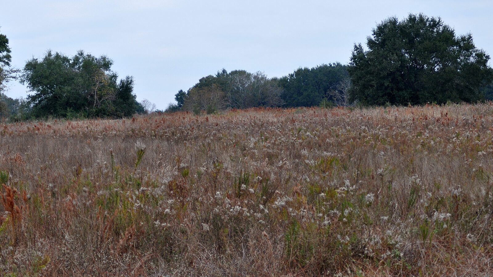
Key facts
- Who: Fulshear Development Partners LLC, the owner listed on the plat, with SS Engineering PLLC as engineer. City planner Josh Brothers prepared the staff memo.
- What: The Fulshear Commons final plat, which divides 4.0253 acres into one block with two reserves. The platting application lists the proposed use as a medical office shell.
- When: On the consent agenda for the City Council's regular meeting on Tuesday, Oct. 20, 2026, at 6 p.m. Planning and Zoning recommended conditional approval on Oct. 2.
- Where: On FM 359 near Rogers Road, according to the plat's vicinity map, in the Churchill-Fulshear League survey inside the City of Fulshear.
- What it means for residents: A plat is the legal map that sets up the lots before building permits. It is not approval of a building design.
A 4-acre site on FM 359 near Rogers Road is one step from a recorded plat, and the paperwork says it's meant for medical offices. The Fulshear Commons final plat is on the consent agenda for the Fulshear City Council's regular meeting on Tuesday, Oct. 20.
What's planned
The platting application, filed Sept. 11, 2026, lists the proposed use as a "medical office shell," a building put up for medical tenants to finish out. The owner on the plat is Fulshear Development Partners LLC, and SS Engineering PLLC is the engineer. The application doesn't name a tenant, and the packet doesn't give a building size or opening date.
The plat covers 4.0253 acres, or 175,344 square feet, in the Churchill-Fulshear League survey inside the City of Fulshear. It creates one block with two reserves. Reserve A is unrestricted, and Reserve B, about half an acre (0.486 acre), is set aside for a detention pond to hold stormwater.
The plat's vicinity map puts the site along FM 359 near Rogers Road.
How it got here
The Planning and Zoning Commission recommended conditional approval at its Oct. 2 meeting. City planner Josh Brothers wrote in the staff memo that the corrections have been made and that the plat generally meets the city's subdivision rules. Staff recommends approval.
A plat is the legal map that sets up lots, reserves and easements before anything is built. Approving it isn't the same as approving a building design, which comes later through permits.
What happens next
Consent items are usually approved together in one vote unless a council member pulls one for discussion. The meeting starts at 6 p.m. in council chambers at the Fulshear Municipal Complex, 6611 W. Cross Creek Bend Lane. The memo, application and plat are on pages 241 to 246 of the city's Oct. 20 agenda packet.
Questions and answers
What is Fulshear Commons?
It's a 4.0253-acre subdivision plat on FM 359 near Rogers Road. The platting application, dated Sept. 11, 2026, lists the proposed use as a medical office shell. The owner on the plat is Fulshear Development Partners LLC.
Has the plat already been approved?
Not by council yet. The Planning and Zoning Commission recommended conditional approval at its Oct. 2 meeting. The staff memo says the corrections have since been made, and staff recommends approval. It's on the Oct. 20 consent agenda.
Does the site include a detention pond?
Yes. The plat shows a second reserve, Reserve B, set aside for a detention pond of about half an acre (0.486 acre).
Does a final plat mean construction is starting?
No. A plat divides and records the land. Building plans and permits are separate steps, and the packet doesn't give a construction date or name a medical tenant.
Sources
- City of Fulshear — City Council regular meeting agenda, Oct. 20, 2026, Item VIII.K
- City of Fulshear — City Council agenda packet, Oct. 20, 2026 (Item VIII.K memo, platting application and Fulshear Commons plat, pages 241–246)
Last verified .
More stories
Business
Fulshear weighs a $100,000 update to its economic development plan
Council will consider a $100,000 TIP Strategies update of Fulshear's economic development plan. The Type A and Type B boards have each approved $50,000.
Business
Developer pitches a Fulshear Town Square with a hotel, conference center and sports complex on FM 1093
Council will discuss a Town Square deal on FM 1093 on Oct. 20. City staff say it isn't ready to sign and recommend against approving it for now.
Roads & Traffic
Downtown Fulshear drainage project heads toward FM 359 with a $150,000 contract change
A $150,000 amendment would raise Fulshear's downtown drainage contract with Pape-Dawson to $718,921.90 and add FM 359 design work for a TxDOT permit.
.jpg)